Discover the World Heritage site
Here are some of the pearls of the High Coast World Heritage site. There’s something for everyone: magical forests, barren rocky outcrops, beautiful stretches of coastline, and mountains with stunning views. Geological attractions, valuable nature and vantage points are all featured here amongst our places to visit.
Wild and monumental
With its dramatic terrain, Skuleskogen National Park is one of the pearls of the High Coast World Heritage site. Here you can see clear evidence of the land uplift. Skuleskogen is one of the coastal area’s few remaining large forests and has an old-growth ambience. You can walk for days, enjoy lush vegetation or be enchanted by the views from the barren rocks.
Beautiful red rapakivi granite and bare rocky outcrops characterise the heights, shingle fields and herb-rich spruce forests the lower areas.
A recommended outing that will allow you to enjoy some of these values is to follow the paths from the South Entrance to Slåttdalsmyren and Slåttdalsberget, past Tärnättvatten, Tärnättsundet and Näskebodarna, and back to the South Entrance.
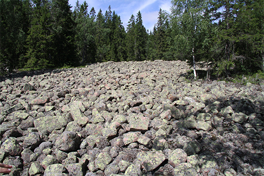
The National Park’s largest shingle field is located east of Slåttdalsberget. Clear beach ridges are visible in the shingle field along the High Coast Trail in Slåttdalen.
The oldest shoreline is known as the “Highest Coastline”. In Skuleskogen, the Highest Coastline is about 282 meters above the current sea level.
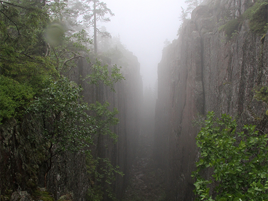
The Slåttdalsskrevan crevice, along with Skuleberget and the Höga Kusten Bridge, are some of the High Coast’s main landmarks. Slåttdalsskrevan is in the heart of Skuleskogen National Park, 3.5 kilometres from the South Entrance.
Three islands became one
Trysunda’s dramatic landscape of steep cliffs, deep crevices and potholes, shingle fields and ravines is evidence of the powerful natural forces that have long been in motion. Trysunda is an island that was once three smaller islands before the land uplift. When the inland ice receded, the land rose out of the sea, and the channels between them became shallow and eventually disappeared completely. Today forest grows where those channels used to be. At Trysunda you can find different types of rocks, the oldest of which is the intensely red rapakivi granite, which is common all the way along the High Coast. Light grey sandstones can be seen at Kapellberget and Trappberget. Most of the sandstone at Trysunda is covered with a layer of dark diabase that has been shaped and polished by the sea waves for thousands of years. Make sure to visit the shingle field at Storviken and the sand beach at Björnviken.
Storviken Shingle Field
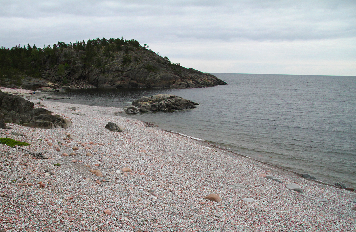
If you listen carefully, you can hear the shingle clattering when the waves retreat. This large field of smooth, round multicoloured stones was formed when the waves washed away the sand and clay that the ice sheet had left behind. A variety of rock types make up the shingle field: red rapakivi granite, light sandstone and dark diabase. The surface of the rock near the shingle field has been ridged and striated by the stones that were frozen into the ice sheet. In the 1930s, shingle was gathered from the hollows on the eastern side of the beach, not far from the edge of the forest, to be used in the casting of Sandö Bridge over the Ångerman River.
Björnviken Beach
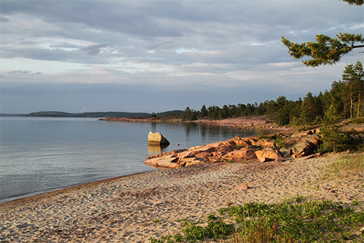
Between the High Coast cliffs and the shingle field, you can also find soft, sand beaches that are ideal for bathing. The sand was washed out of the moraine that the ice left behind, after which it settled on the bottom of the calm bay and eventually formed a beach as the land rose. In Björnviken, the beach is bordered by red granite rocks on the left and black diabase on the right. The red side is several hundred million years older than the black! The beach also features different types of vegetation depending on how far away you are from the water, in other words how old the area is. Lime grass grows close to the sea, an alder wood slightly further up the beach and pine forest inland.
A dramatic coastal profile
If you drive along the E4 highway between Härnösand and Örnsköldsvik, you can’t miss Skule Mountain – adjacent to Docksta in Kramfors municipality, the cliff face drops almost vertically down to the road, a perfect example of how the land uplift has created the High Coast’s dramatic topography.
When the massive inland ice sheet receded from the High Coast around 10,500 years ago, Skuleberget was about as prominent as a small skerry in a large ocean. Since then, its height has risen to 286 meters above sea level. From the vantage points on the mountain top there are panoramic views of the sea and the High Coast’s hilly landscape.
The history of Skuleberget
With its dramatic profile, Skuleberget is an important landmark in the Ångermanlandic landscape. The current route of the E4 highway highlights Skuleberget’s position on the edge of the wide Skule Forest, but the mountain was already a landmark in the first maps of Scandinavia. When Linné passed through in 1732 during his Lapland journey, this is how he described his Skuleberget experience: “We scaled the cliffs, crawled, slid, pulled ourselves up, grabbed a bush or rock with one hand, which if it had come loose, as it easily could have, it would have been et actum de vita nostra (= the end of our lives)”.
The mountain was already significant during the Stone Age. Kungsgrottan cave on its eastern side was most probably carved out by the ice and water. 160 meters up the cliff, archaeologists have found traces of human settlements that were most likely 8,000-year-old hunting camps.
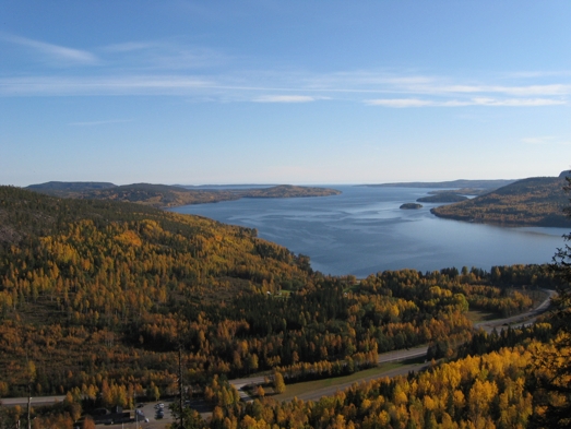
Unique flora
Skuleberget is a south-facing mountain with a sheltered ravine on its eastern side. It has a microclimate that is milder than the surrounding area, one which favours numerous plant species. In the summertime, the sun heats up the rock face until it’s almost as warm as a hothouse and several plants of particular botanical interest flourish there. Norway maple, a northern occurrence of hazelnut and lime tree, angular Solomon’s seal (Polygonatum odoratum), enchanter’s nightshade (Circaea alpina), Actaea spicata, guelder rose (Viburnum opulus), fly honeysuckle (Lonicera xylosteum), ostrich fern (Matteuccia struthiopteris), perforate St John’s-wort (Hypericum perforatum), hairy rock-cress (Arabis hirsuta), basil thyme (Acinos arvensis), mountain currant (Ribes alpinum), peach-leaved bellflower (Campanula persicifolia) and violets can all be found on the mountain.
Fishing village in a rugged landscape
The islands of Ulvön are probably best known for the fermented Baltic herring that has been manufactured in the area for over a hundred years. The main settlement, which includes the community of Ulvöhamn and Ulvö Chapel, is located on the north island. There are daily ferry connections between the islands and the mainland.
North Ulvön, Sandviken fishing village
The sand beaches and dunes of Sandviken are another type of landscape created by the effects of the inland ice, the sea and the land uplift. The sand was washed out of the moraine that the ice left behind, after which it settled on the bottom of the calm bay and eventually formed a beach as the land rose. Thanks to the beach, the site was well suited for a fishing village as it was easy to pull boats up on land. However, the land uplift has caused the fishing sheds to move quite a way above the waterline. It’s also obvious how the pine trees and other vegetation have begun to establish further inland where there once was a sand beach.
If you walk along the path past the last house, up over the rocks and through the forest, you eventually come to a 17th century iron mine. From there you can continue through the Stormyran Nature Reserve and then follow the path to the road back to Sandviken.
Kvarnsjön
In the middle of the island of North Ulvön, there’s a beautiful lake that was once a bay before the land uplift. Here you can find the remains of ancient marine life in the form of shell gravel: sand and gravel mixed with the remains of dead gastropods, mussels and barnacles. The shell gravel has collected in banks and contains lots of information about early marine environments, which is why it’s important to preserve it. If you’re lucky you may be able to spot the remains of various aquatic animals on the ground in places where there’s a shell gravel bank.
South Ulvön Island
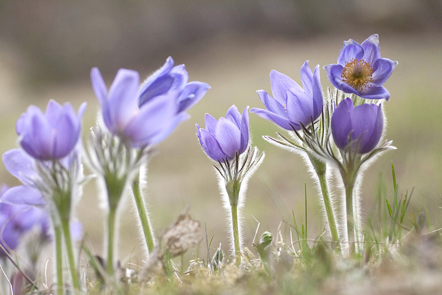
This part of Ulvön features a barren, mosaic-like coastal landscape, including coves with sand beaches such as Longvik and Flaseviken that are ideal for bathing.
South Ulvön is also known as “Iron Ulf’s Island” due to the mining that has taken place there since the late 17th century. Parts of the nature reserve consist of bare rocky outcrops as the site is exposed to the sea waves. The rocks continue for several hundred metres across the island.
Impressive shingle field
Rocks, shingle fields, pine trees and lichen – the rugged landscape of Norrfällsviken bay is a testament to the power of the land uplift and the sea’s erosion. The nature reserve includes the tip of the Mjällom Peninsula, whose distinctive, impressive landscape has been shaped by the sea and ice over the centuries. Bådamalen, where the stones and boulders have been rolled and ground down then deposited in characteristic ridges, is one of the county’s most impressive shingle fields.
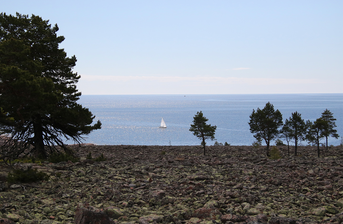
For visitors roaming in the reserve, there are trails marked in blue. They lead, among other places, to the rest hut on Skvalpudden point, where there’s a breathtaking view of the sea and the Nordingrå coast. Another path leads to the small Näsamyran mere, where there’s a simple picnic area with an open-air fireplace and benches. Feel free to light a fire, but not when the ground is dry.
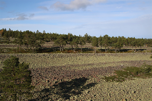
Panoramic views of the heritage site
From the top of the cliff at Högklinten, there are panoramic views of the High Coast all the way from Örnsköldsvik in the north to Härnösand in the south. A fine flat-rock forest with old, crumbling pines dominates the rocky landscape. When the inland ice receded just over 10,000 years ago, Högklinten was left completely underwater. As the force of the post-glacial rebound lifted the cliff to its current 281 meters above sea level, its slopes were exposed to the surf. Pebbles, gravel and soil were washed out to sea, while the heavier stones were left behind to be ground against each other and polished. At Högklinten there is an extensive and impressive field of prominent beach ridges. At a height of about 261 meters above sea level, it’s the world’s highest shingle field, with round stones coloured grey and green by lichen. The rocky outcrops of rapakivi granite are a beautiful shade of red.
Stay in a lighthouse on a dramatic island
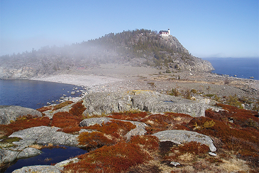
At the far end of Nordingrå, the curved back of Högbonden Island rises out of Gulf of Bothnia. At the top of the cliff there’s a lighthouse, with an old lighthouse keeper’s house from 1909 close to the precipice. The lighthouse keeper’s house now serves as a hostel, where you can enjoy the views and the sound of the sea high above sea level. The landscape is rocky and barren. The bedrock is very susceptible to cracking and tunnel caves have formed in the rock, the largest of which is Bondstugan Cave on the shoreline directly south of the lighthouse. The tunnel-shaped caves were originally cracks in the rock along the shoreline. Stones and boulders were washed in and out of the cracks by the force of the waves until they eventually became caves. The phenomenon is also known as an onion cave because they often have a characteristic onion-like shape. Tunnel caves are an unusual type of cave that are most commonly found here in the High Coast thanks to the many steep beaches and the land uplift that eventually pushes the caves out of reach of the waves.
The bay’s days are numbered
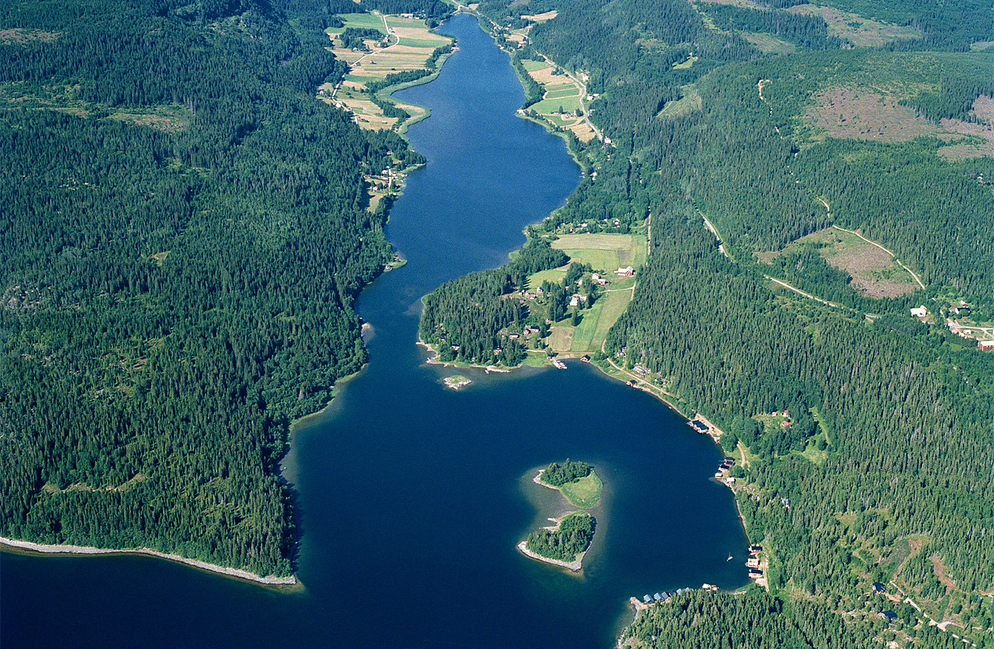
Sörleviken is a deep bay that will soon be cut off from the sea due to the post-glacial rebound. On one side of the bay, the Ringkallen cliff face shows how the sea sorted out what the inland ice left behind, first larger boulders and shingle on the slope and then sand and mud in the hollows. The cliff face has also been subjected to frost erosion, where the ice has broken loose stones and boulders that have then fallen and formed a so-called talus pile at the foot of the cliff.
If you hike the World Heritage Trail, Sörleviken is on your route.
Magnificent views and a crystal-clear lake
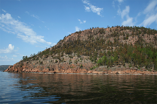
Balesudden, the prominent point formed of rapakivi granite, is a splendid beacon at the entrance of Bäckfjärden fjard. In this nature reserve, you can enjoy magnificent views, a magical lake of crystal-clear water and bays with sheltered sandy beaches. It’s an intriguing lake with clear water and tree skeletons that can be seen on the lake bottom after the beaches.
Paddle between bays and islands
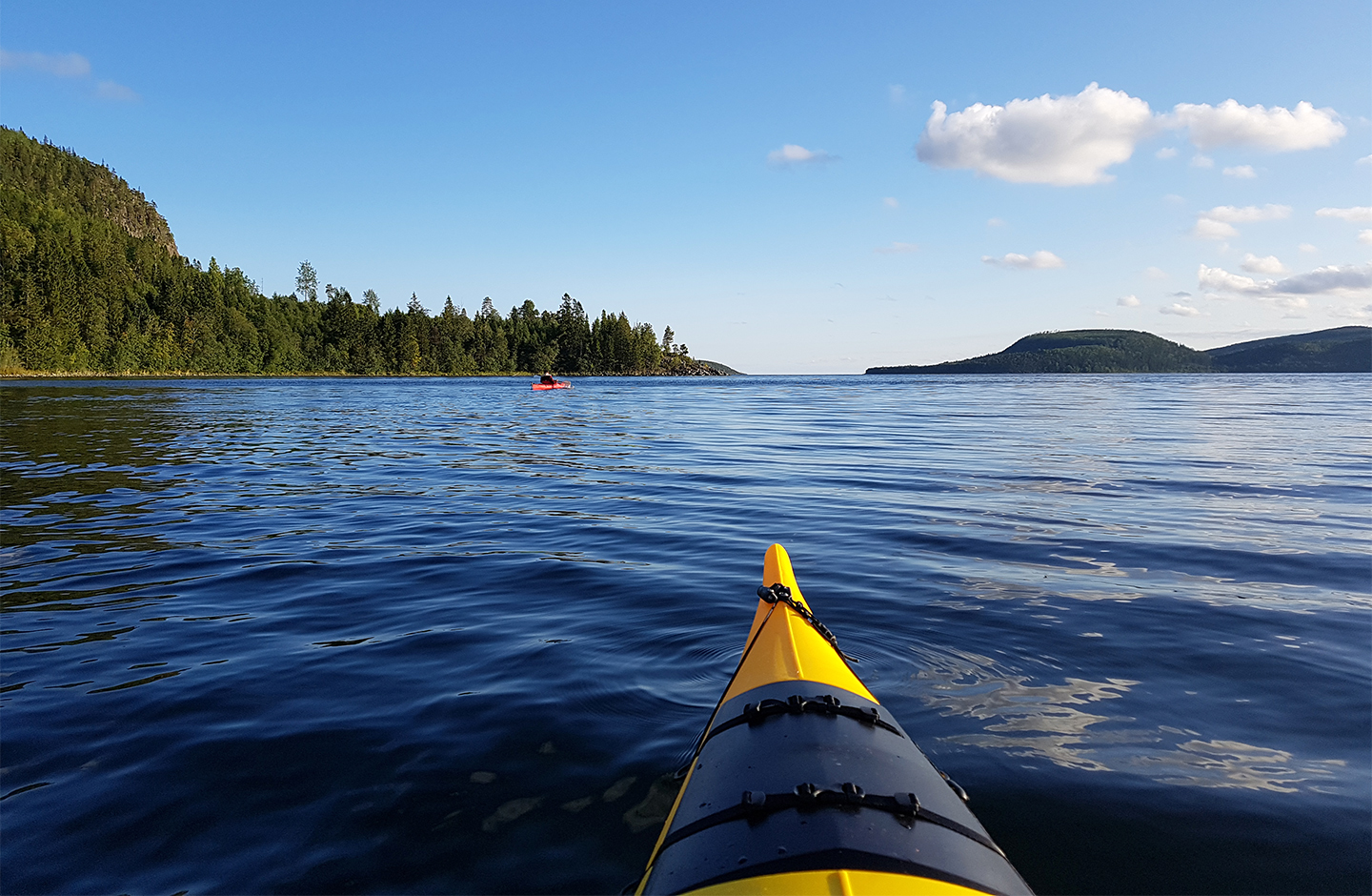
With its numerous coves and islands, Gaviksfjärden is an ideal fjard for a canoeing adventure. Here you can also experience the steep coastline if you paddle close to Ringkallen, the rocky cliff wall that plunges down to the sea. Start your canoeing trip in Häggvik, where you can put to sea in the marina. Then paddle through the narrow Trångsundet and let the bay open up ahead of you.
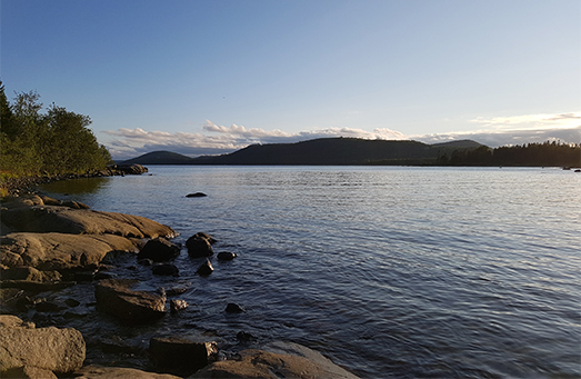
Sweden’s highest island
The highest point on the island of Maltön is 236 meters above sea level. From Baggviken, a lovely natural harbour, there’s a path to the summit, where there’s a fantastic view of the High Coast.
The high plateau is surrounded by steep slopes that are vertical on the mainland side and up to 50 metres high. The entire island used to be under the highest waterline and has been heavily eroded by the sea waves. It features windswept cliff tops, boulders and large shingle fields. There’s also a larger tunnel cave known as Mjältögrottan near the top.
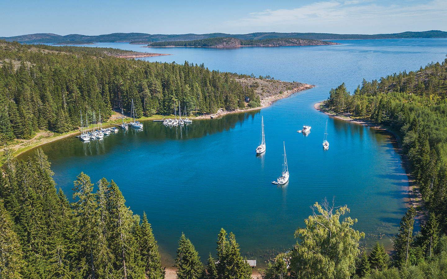
Smooth flat rocks and the open sea
On a clear spring day, you can enjoy the waves as they roar in all the way from the Åland Sea and break against the rocks, a demonstration of the forces that are still shaping this amazing location.
Rotsidan is known and appreciated for its soft, smooth rocks of dark diabase that attract large numbers of visitors in the summertime for picnicking, bathing and views of the open sea.
There’s a pushchair and wheelchair-accessible footpath from the car park to the rocks, as well as marked trails between Barsta and Fällvikshamn, along which there are several permanent open-air fireplaces.
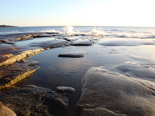
South-facing mountain with rich flora
Since the early 18th century, Omneberget mountain has been regarded as one of Norrland’s most fascinating south-facing mountains, with a rich flora that’s characterised by its southerly species. The term south-facing mountain refers to the fact that the mountain slopes southwards, which acts as a sun trap and absorbs the heat. As a result, numerous plant species that usually occur further south thrive here, for example the harebell (Campanula rotundifolia), Lathyrus vernus, fly honeysuckle (Lonicera xylosteum), great mullein (Verbascum thapsus), Norway maple and hazel. If you come in early May, you’ll be greeted by a magnificent carpet of blue kidneywort (Anemone hepatica). The white wood anemone (Anemone nemorosa) blooms a week later. The view from Omneberget is magnificent and dramatic with a steep cliff down to Omnesjön lake.
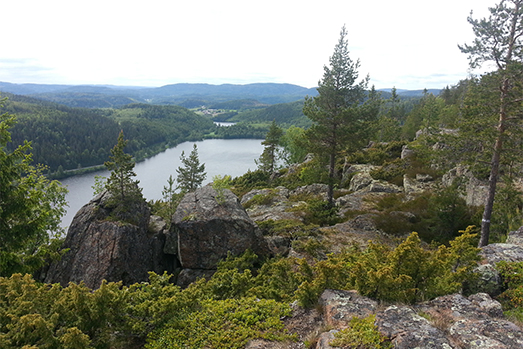
Beautiful beach with an immaculate horizon
Smitingen is arguably the Norrland coast’s finest beach: 300 meters of fine, soft sand with a view of the immaculate horizon, beautifully framed by bathing rocks and a barren rocky landscape. If it’s too cold to swim in the sea you can walk up to the lake at Klubbsjön, where the water is a few degrees warmer. There are also tidy picnic areas with open-air fireplaces. The path to the lake is pram and wheelchair accessible.
The nature reserve also offers exciting rambles. Walk a lap round the lake or discover caves and potholes carved out by the force of the sea. From above Klubberget, the view stretches from Högbonden in the north to Brämön in the south.
North of the bay, you can take the “cave trail” to some of Sweden’s most beautiful tunnel caves, and there are also caves, potholes and sea stacks with intriguing shapes along the “geology trail” that leads southwards. The longer trail also takes you down to the beach rocks, past unspoiled shingle fields.
In the autumn, the beach is deserted and you can enjoy the solitude and the foaming waves rolling in from the Gulf of Bothnia. In the winter the bay is still and sometimes covered in ice packed into beautiful formations.
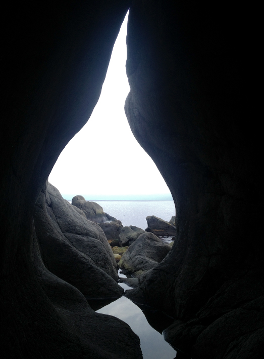
A miniature Skuleskogen forest
A hike in Hummelvik bay will give you a taste of many of the features that characterise the High Coast World Heritage site. The area could be called Skuleskogen’s “little brother”. At Hummelvik you can see steep cliffs, shingle fields, thick, twisted old pine trees, lush pine slopes, high-altitude marshes as well as a magnificent view of the coast. The area is located on a peninsula between the Näskefjärden and Nätrafjärden. The pine forests, with numerous trees that are probably over 300 years old, are adjacent to the shingle field. The forest area has been affected by fire, and there are charcoal stumps and fallen pines everywhere. In the southern part of the shingle field there’s a prehistoric site consisting of settlement pits.
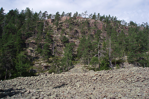
The lighthouse in the north
Situated at the far northern end of the heritage site, Skagsudde point is a well-known name to anyone that listens to the national and coastal weather reports. At the weather station on the point, they measure the rate of land uplift, which currently stands at 8 mm a year. However, the visible land uplift is only 5 mm per year as the sea level is also rising by 3 mm annually due to climate change.
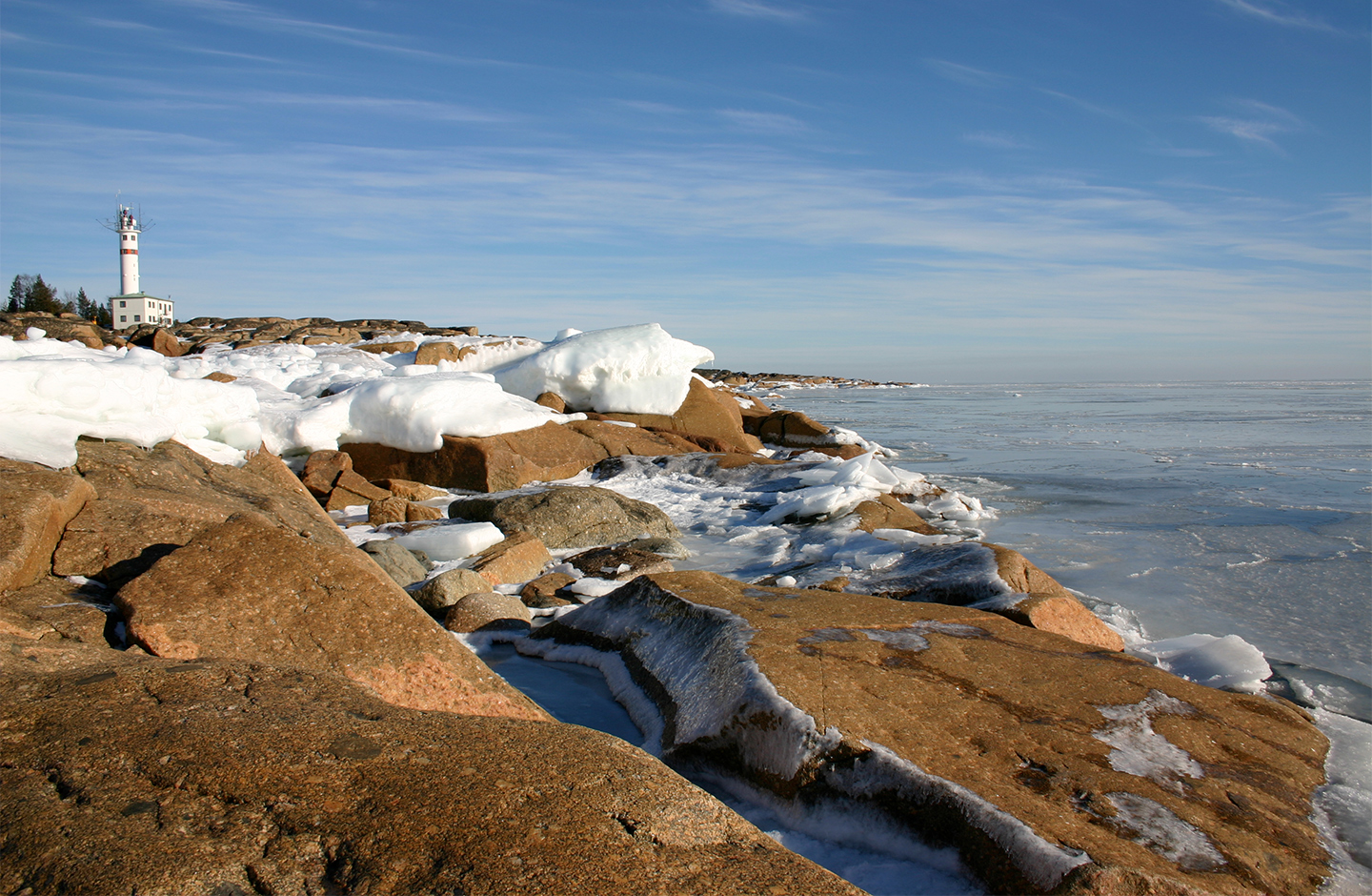
On the way out to the point, there’s a fishing village called Skagshamn with pretty fishing sheds, a 17th-century chapel and the Gösta Hannells fish saltery, which produces the Röda Ulven brand of fermented Baltic herring.
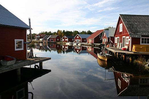
Magnificent view and an ancient fort
Rödklitten hill features the remains of an ancient fortification, probably from 400-1050 AD in the early Iron Age. The rough-hewn stone wall can be found on the least steep part of the hill, the rest of which has partly vertical sides.
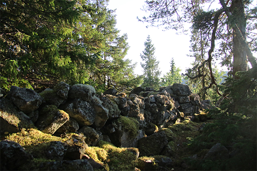
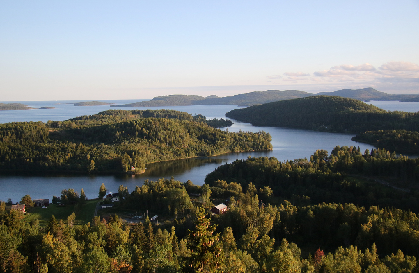
There’s also a magnificent view from the vantage point on the southern side of the hill across to Mädansviken and Gaviksfjärden in the foreground. Please also visit the cave on the way up! Both the High Coast Trail and the World Heritage Trail pass close by.
Ravine with lush deciduous forest and interesting flora
The Halsvik Ravine is located in the scenic cultural district of Nordingrå, where bedrock, land ice and water have jointly shaped a landscape of pronounced mountainous areas and deep valleys.
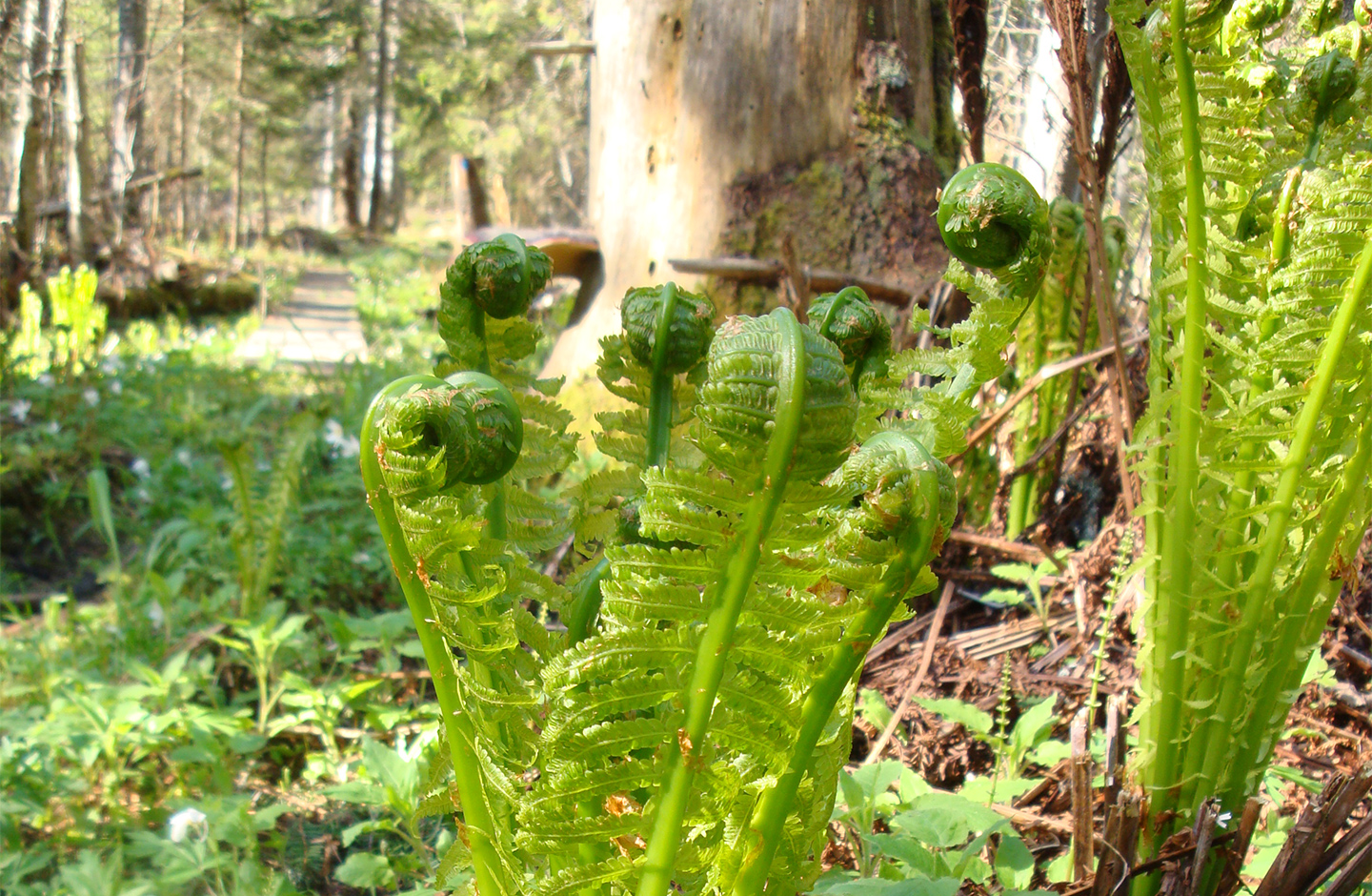
The ravine cuts through a species-rich deciduous forest in a valley that runs down to the sea. If you wander through its abundant flowers during the early summer – there are numerous species that are really more at home further south in the country – you can also enjoy the birdsong of wrens, wood warblers and blackcaps.
Easily accessible nature reserve
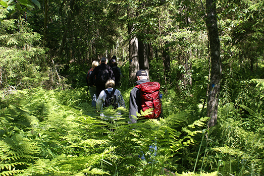
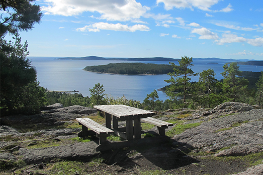
Ögeltjärn Nature Reserve is a popular and easily accessible nature reserve with excellent opportunities for hiking and nature experiences in the High Coast terrain. From the top of the 91-meter-high Ögeltjärnsberget hill, there’s a magnificent view of the archipelago. In addition to the mere, the nature reserve features a forest where the flora benefits from the lime in the underlying shell gravel.
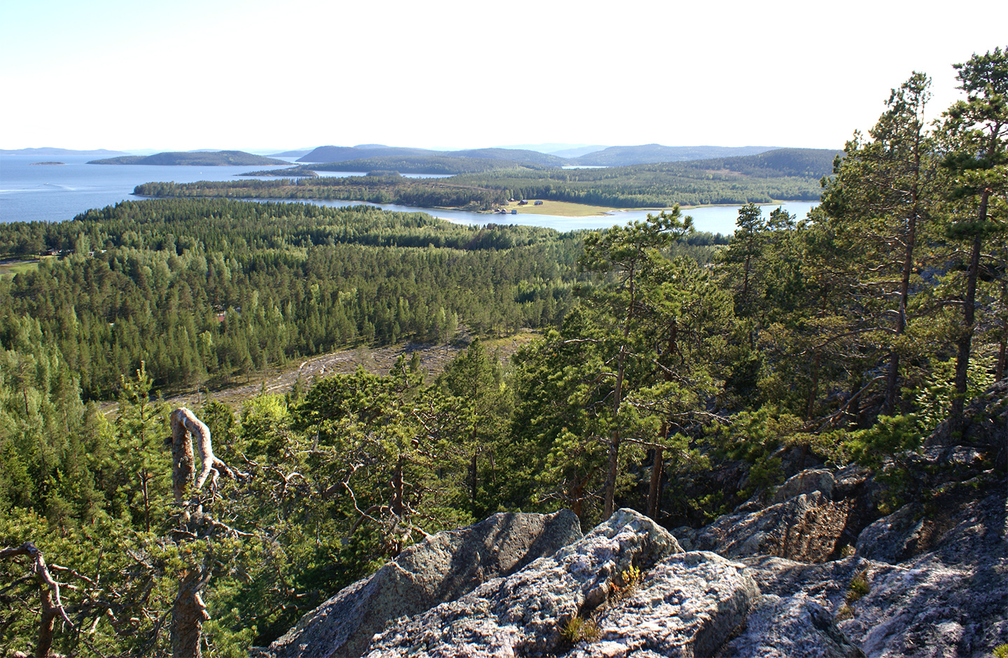
Near the mere there’s a shelter with an open-air fireplace. The name “Ögeltjärn” means “leech mere”, which is because up until the 1930s and 40s leeches were collected there and sold as medication.
Travel back in time to the Iron Age
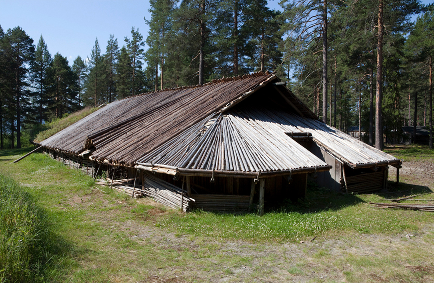
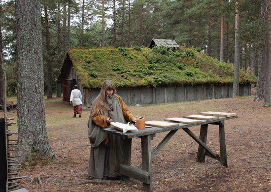
Don’t miss the opportunity to experience how people lived in about the year 500! The Genesmon Open Air Archaeological Museum is a reconstruction of an Iron Age farm that depicts the period through environment, clothing, food and handicrafts. The farm has been designed on the basis of the excavations that were made in the 1970s and 1980s. The reconstruction is within walking distance of the archaeological site. During the time of the settlement, the farm was located on a point that jutted out into the sea, but since then the post-glacial rebound has transformed the landscape. Genesmon farm was probably rich, with the resources to cast bronze jewellery and keys that, in some cases, were even gilded. It was inhabited by a large family of several generations totalling about 10-20 members. They were primarily farmers who grew barley and oats, but also subsisted on fishing and seal hunting.
View of the isolation basin
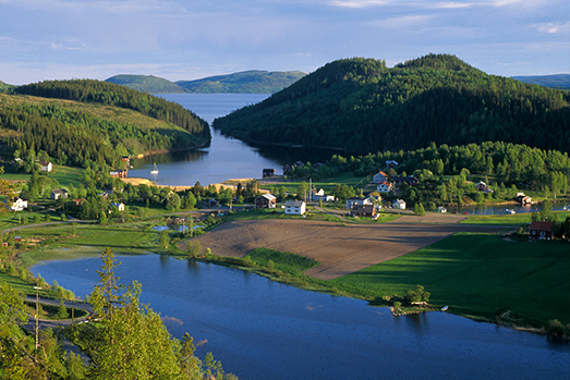
From the vantage point at the top of Stortorget hill 135 meters above sea level, there’s a magnificent view of a landscape formed by 10,000 years of post-glacial rebound. The path up to the top of the mountain is steep, but there are places to rest along the way if you need to. 2,500 years ago the view was quite different – in those days you could look out over a large bay from the top of Stortorget. As recently as the mid-19th century, Vågsfjärden fjard was connected to the sea. When Nordingrå Church was built in the 1820s, the building materials could be transported by boat to the site. Now the bay has been cut off from the sea and become a lake. In about five hundred years the same thing will happen to Kråknäsfjärden fjard. Isolation basins are one of the isostatic phenomena that have given the High Coast its status as a World Heritage site.
Dramatic rocky island with an exciting geology
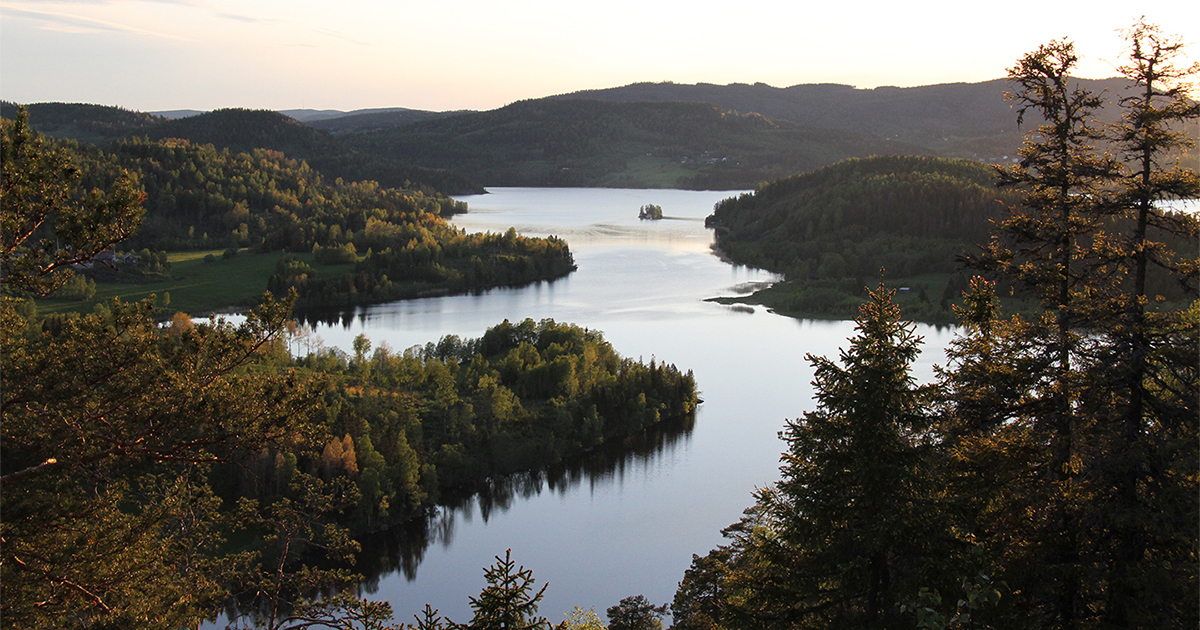
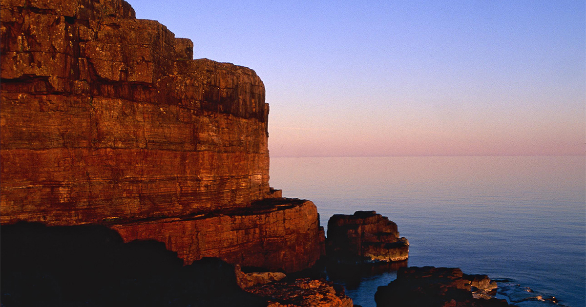
One of the High Coast’s most interesting geological heritage sites is the steep, majestic island of Storön, where you can study rock formations from several volcanic periods and how these were eroded by the ice and sea waves. But you don’t need to be interested in geology to be fascinated by the large shingle field on the island’s rugged outer side or the dramatic precipice of diabase and sandstone on the southern tip of the island.
The lake on the island was a bay and a fishing harbour until the 1870s, but in the early 18th century the land uplift caused the harbour entrance to become too shallow, and eventually the fishing village had to be relocated to Nyhamnen.
The lake on the island was a bay and a fishing harbour until the 1870s, but in the early 18th century the land uplift caused the harbour entrance to become too shallow, and eventually the fishing village had to be relocated to Nyhamnen.
